Day 8: Monday December 20, 2010
We left Lamu and flew back to Wilson Airport in Nairobi.
In Nairobi we went back to the Country Lodge hotel where we had stayed on our arrival to Kenya.
Day 9: Tuesday December 21, 2010
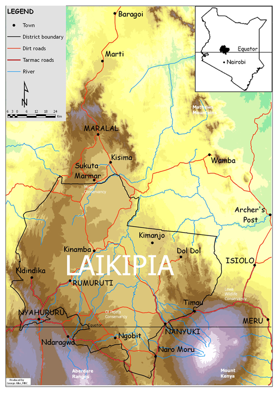
Map of Laikipia
From Laikipia Wildlife Forum
click for a larger view
In the morning we drove in Siva’s and Corinna's Land Cruiser from Nairobi to their house in Laikipia. To reach their house [0° 15.3' N 36° 58.1' E] one drives almost 3½ hours north from Nairobi toNanyuki [0° 1' N 37° 4' E], the town where their local shopping is done. The house is located about a 45 minute drive from Nanyuki.
Day 10: Wednesday December 22 to Day 16: Saturday December 25, 2010
We spent these days staying in the small guest house adjacent to Corinna's and Siva's house.
The house is at an elevation of 1705 m (5594 ft) overlooking the river from which they get most their water. Rainwater is also collected. The house is near two other houses also belonging to their landlords, the Brown family. There are several other comparatively small private properties along this stretch of the river. These houses are surrounded by huge ranches. From the shady veranda at Corinna’s and Siva’s house there is nothing but wilderness in sight. They have no electrical power other then what they generate from a photovoltaic cell and store in batteries. There is no telephone except a weak mobile phone signal.
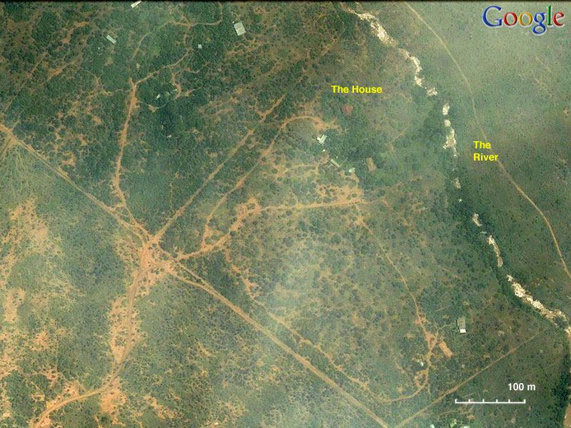
Satellite View of Corinna’s
House and vicinity
click for a larger view
Because there is no internet connection from the house and because Alice and I were anxious to see where our children work, on Wednesday morning they drove us to the Mpala Research Centre [0° 17.6' N 36° 54' E], about a 25 minute drive from their home. At the center they do have a direct satellite internet link. But we were unable to retrieve our e-mail because of the center’s draconian firewall. Despite that we were very pleased to see the center, its facilities, and to meet its director Margaret Kinnaird and her husband.
The rest of the days, including Christmas, we stayed at the kids’ house enjoying long walks in the area and by the river.
To see an enlargement please click on the picture.
-
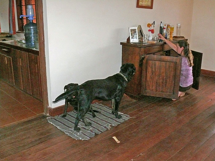
Inside Corinna’s house: Corinna, Arkas, & Leila.
-
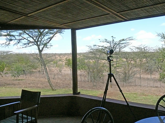
Corinna’s Porch: a good place to watch for animals and where we spent most of the daylight hours.
-
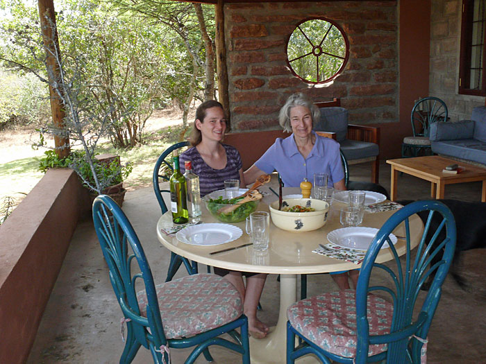
Corinna’s Porch: Corinna and Alice.
-
-
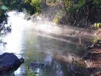
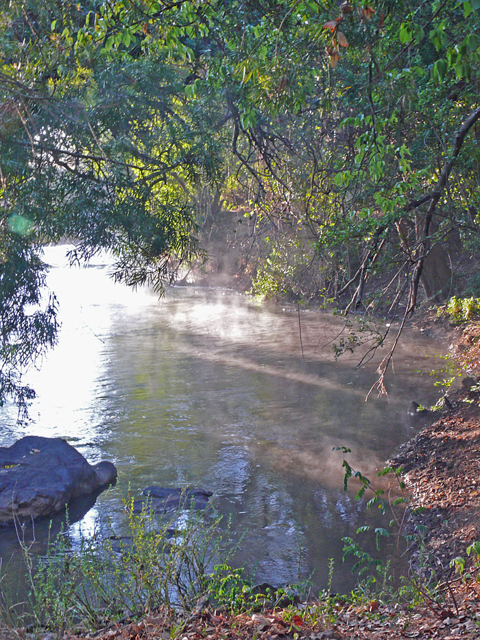
The River.
-
A Beehive.
-
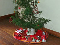
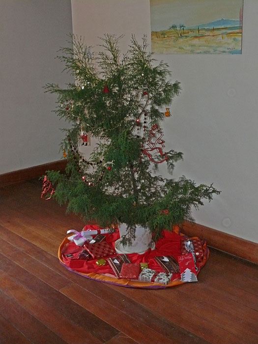
The Christmas Tree.
-
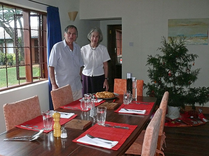
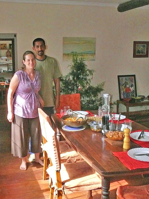
Christmas Table: Corinna & Siva.
-
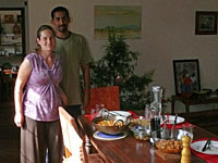
Christmas Table: Vasilis & Aliki.
Day 17: Sunday December 26 to Day 20: Tuesday December 28, 2010
Satellite View of Ann’s camp
click for a larger view
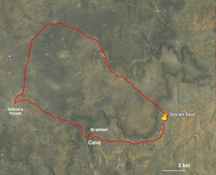
The morning after Christmas we all got into the Land Cruiser and, with Siva driving due west, we drove past the Mpala Research Centre and then north to Suyian Soul [0° 29.7' N 36° 48.9' E] owned and operated by Anne Powys within the Suyian Ranch belonging to her family. This ranch borders with the Mpala Farm. Nevertheless it took us a drive of over two hours on ratty dirt roads to get there.
The camp and the accommodations were charming. The camp overlooks a salt-lick where many animals congregate. Anne, who already knew Corinna and Siva from working together on various local conservation issues, received us very gracefully. After a delcious lunch and a rest she took us for walk around the salt-lick. During this walk we saw an elderly lone eland.
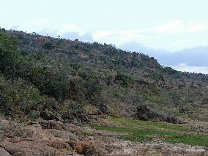
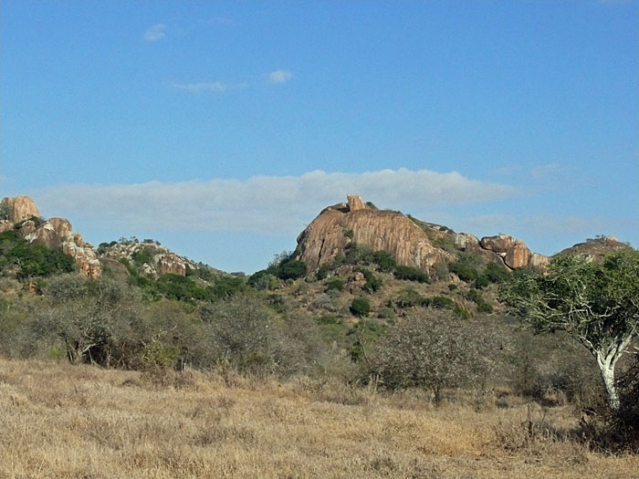
On Monday morning Anne took us for a long tour of the Suyian Ranch, including a visit to some prehistoric caves with carvings, an al-fresco breakfast, and a visit (at the NW end of the ranch) to her father’s, Gilfrid, house.
On Tuesday, on our drive back, we saw the remains of the lone eland that had been killed in the early morning by lions.
-
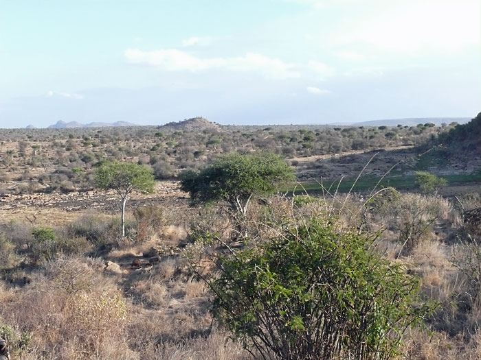
View from Anne’s Camp
-
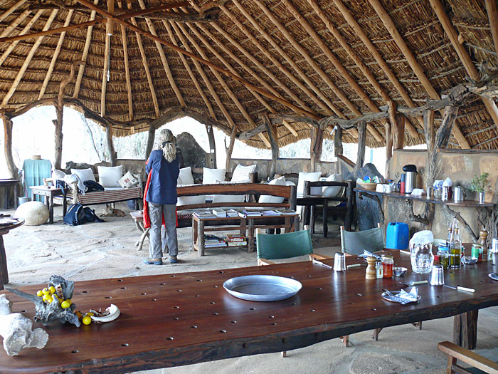
The “living room” of Anne’s Camp.
-
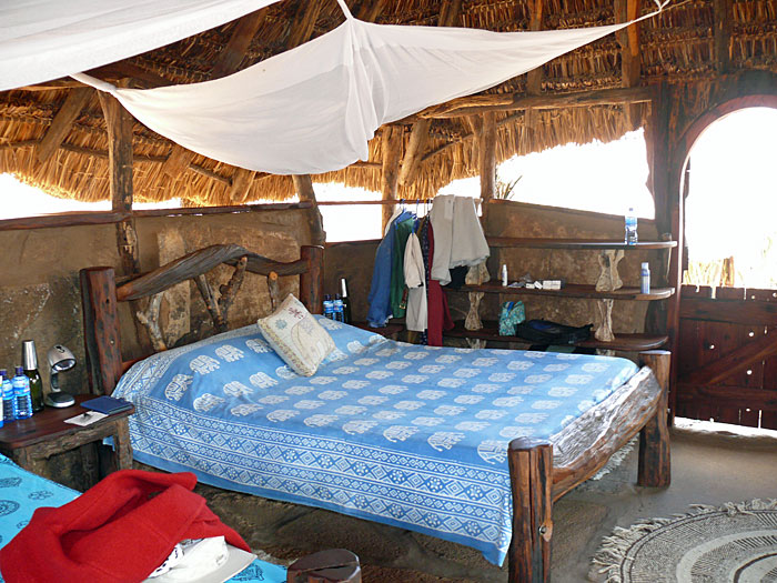
A cabin in Anne’s Camp.
-
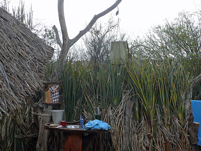
The cabin’s shower.
-
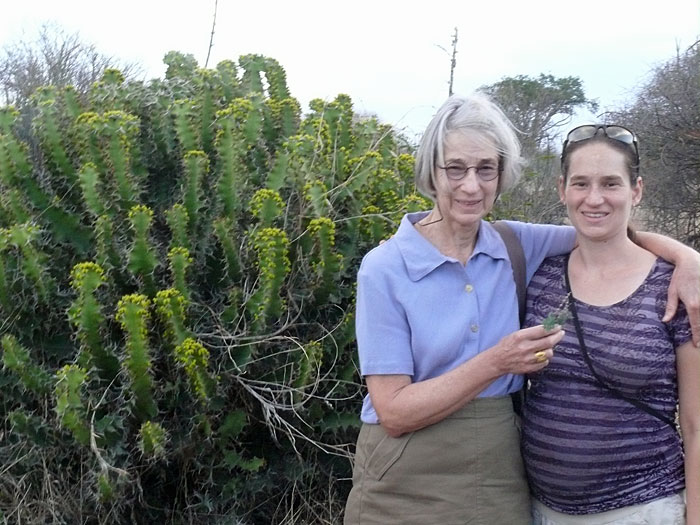
Alice and Corinna during our walk to the salt-lick.
-
The salt-lick.
-
The rocks near the cave.
-
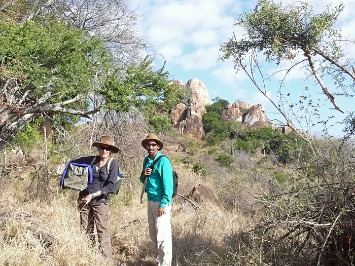
Anne & Siva climbing to the cave.
-
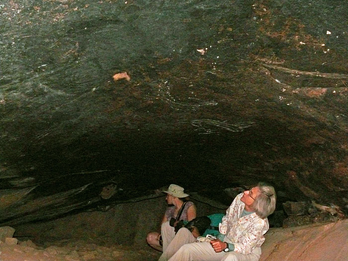
Inside the cave looking at the carvings.
-
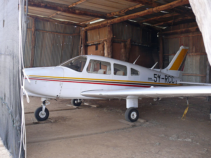
Anne’s father uses his airplane to visit other ranches and go to Nairobi.
-
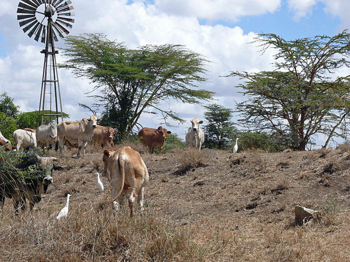
Cows are the main “product” of the Suyian Ranch.
-
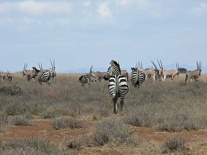
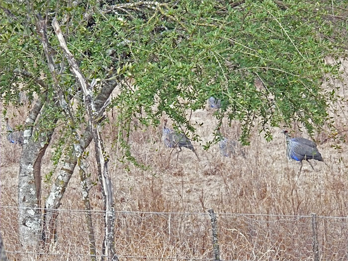
Zebras and oryxes.
-
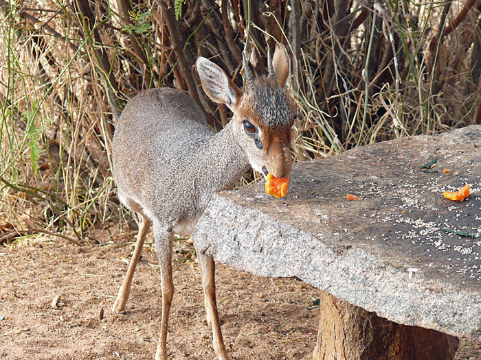
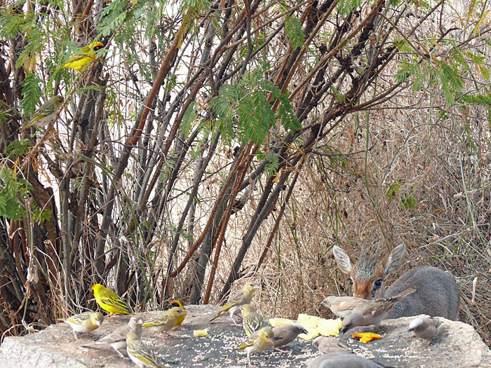
A Dik-Dik.
-
Anne feeds many guests.
-
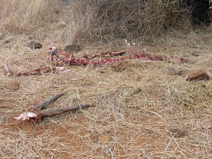
The remains of the eland after eaten by the lions.